
Lake King

TENEMENT |
E 70/5523 |
OWNERSHIP |
100% |
DATE ACQUIRED |
July 2020 |
SIZE |
25 Blocks (75 km2) |
LOCATION |
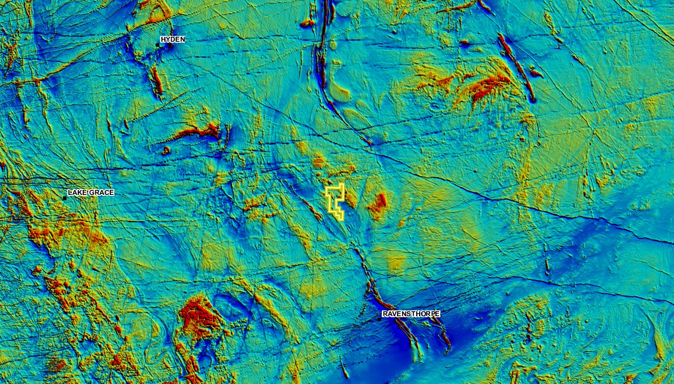
The Lake King Project is located 410 km ESE of Perth and 70km NW of Ravensthorpe. The Project has direct access to major highway, grid power infrastructure in one of the world’s most attractive mining jurisdictions – Western Australia. |
The Lake King Project covers the southern part of the Youanmi Archaean Terrane and consist of rocks of the Lake King/Ravensthorpe Greenstone Belt. Mapped geology of the project area consisted of granulites, mafic volcanic rocks with minor mafic and ultramafic intrusive rocks. The landform consists mainly of undulating reworked sand plain with yellow to white sand and clay, gravel and minor laterite and rock outcrops.
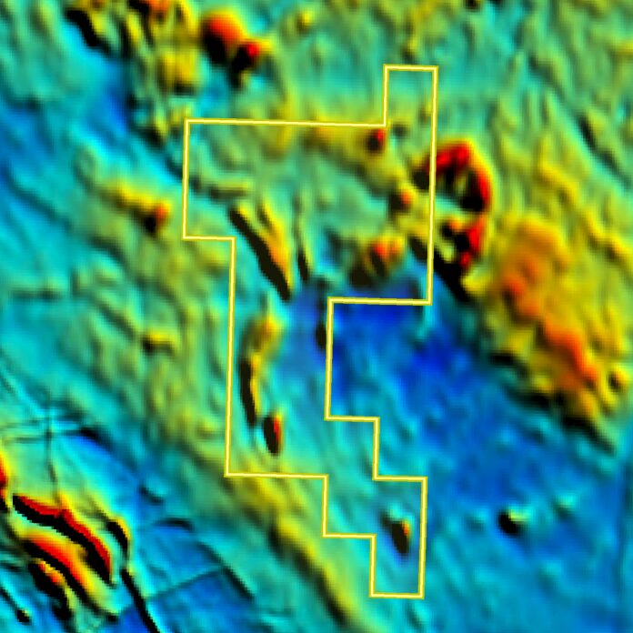
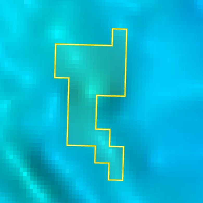
Recent gravity data collected has improved the geological understanding of the area and shown that the Ravensthorpe greenstone belt extends much further north than previously thought. The target for mineralisation here is gold and/or nickel mineralisation associated with coincident gravity and magnetic highs. There has been no previous exploration conducted on these paddocks.
HIGHLIGHTS
- Belt (extension of Ravensthorpe Greenstone Belt)
- Regional proximity to the Forrestonia Nickel Belt
- Good potential for gold and nickel mineralisation
- Strong coincident Magnetic and Gravity Anomalies
- Shallow cover
- Historically anomalous soil sampling results
- Limited historic exploration: no systematic gold, nickel soil sampling has been undertaken due to Issues with farm access which resulted in limited roadside exploration only
EXPLORATION PROGRAM 2020/2021
Hardy Metals exploration program will simultaneously explore and evaluate the area. The 2020/2021 Lake King Exploration Program includes:
- Tenement grant and access approvals – the approval process to conduct non-ground disturbing exploration activities within the Project is underway.
- Reinterpreting Geophysics (Magnetic, Gravity and Multispectral Imagery will play a key role in identifying potential targets for follow-up drilling).
- A detailed ground magnetic and gravity survey on farmland.
- An extensive systematic 5000 metre auger drilling program.